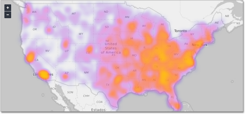
Geo heatmap charts
Geo heatmap charts display the value of the measure through the depth of color of the area. Use geo heatmap charts to see the relative value or density of a measure by location (for example, "sales" relative to "customer zip code").
To use the geo heatmap chart, your search must include a geographical column, or a longitude and latitude pair. ThoughtSpot supports geographical visualizations for many countries; see Geo map reference for details.
See also the full introduction to Geo charts and specifics of working with them.
Was this page helpful?Give us feedback!


